Monday, December 16, 2013

Doc Campbell's to Silver City, New Mexico: CDT 2013 (November 22-24, 2013)

 "You got here just in time," a man said to me as I entered Doc Campbell's store, just outside of Gila Cliff Dwelling's National Monument.
"Why is that?" I asked, "Did a truck just arrive delivering fresh goods?"
"No," the man replied as he walked towards the coffee machine. "Winter storm's a coming, going to drop at least 8 inches of snow around these parts. It's supposed to be a three day event."
 I had been agonizing the last few days about which route I was going to take to finish the CDT. I kept waking up in the middle of the night wrestling with what to do. The reason I was having trouble deciding was because my old roommate had offered me my old room in Northern California for the month of December. I accepted the offer, knowing that this development was a fortunate event which would allow for the possibility of a smooth transition from trail life back to working life after the CDT was finished. Unfortunately, it created a deadline, something I had hoped to avoid. If I finished the trail the way I preferred, it would be mid December by the time I got home, probably not enough time to transition peacefully. Also, I wanted to visit my sister, her husband, and my nephew in Austin after hiking the trail. There was no way I was going to skip that opportunity since I rarely get to see my family these days. Also, I screwed up my resupply, only sending three days of food to Doc Campbell's, when I should have sent seven. I heard Doc Campbell's resupply options were limited. (As it turned out, Doc Campbell's had plenty of food to resupply.)
While in the Gila, I eventually came to peace with my decision. I was going to supplement the four days of missing food at Doc Campbell's store, also buy some extra snacks at the Gila Cliff Dwellings Visitor Center, and then jump onto the Columbus route which would bring me into Deming in about seven days. If executed properly, I would be home no later than December 10.
 Plans are always tentative on the CDT. Sometimes uncontrollable events are the ultimate factors in making a decision. Hearing about the latest snow storm threw a "wrench in the wheel" of my plan. Then another event occurred ultimately shaping my decision. My resupply box that I sent from Grants did not arrive at Doc Campbell's store. On top of that, a couple more locals warned me about the dangers of the upcoming storm along with the terrible conditions of the trail along the south Gila river. Ultimately, I decided it would be best to road walk the 40 miles into Silver City, get a hotel room and decide what to do next from town. This decision would also save me a couple days, bringing me home sooner than expected.
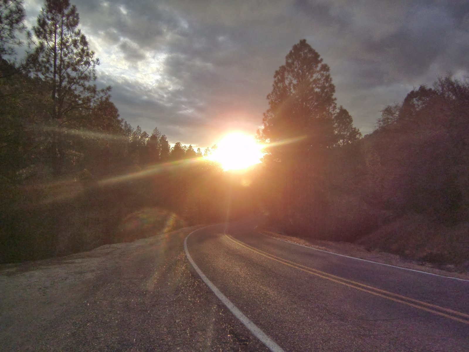
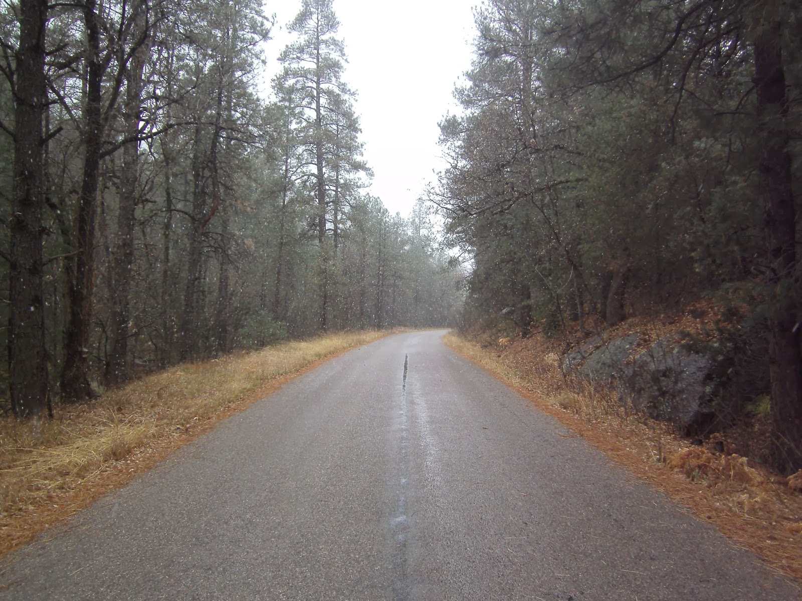
 I started the road walk on the afternoon of the 22nd. The hike from Doc Campbell's is a gruelling, 7 mile ascent. By late afternoon, I was at least 2,000 feet higher than the Gila River below. It was freezing cold and extremely windy. The storm was getting closer. Thankfully after the seven mile ascent, the road began to descend and by the time I set up camp in the evening, I was back at a more reasonable elevation, in a sheltered location. Snow began falling the next day. By the time I reached Silver City, the town was covered under a thin white blanket. I hunkered down in a hotel room for the next two days as snow continued to fall, eventually dropping several inches. I was glad not to be camping in those elements!
During this time, I decided that I was going to road walk all the way to Deming, certain that the Black Mountains to the east were going to be covered with snow, making hiking difficult and frustrating. As much as I wanted to stick to the trail, I also needed to prepare for life after the CDT. Road walking to Deming would give me a little more flexibility with how to approach the transition phase.

Sunday, December 15, 2013

Manparty, Lush, and the Triple Crown

Here's a nice article written about hiking friends Manparty and Lush. Check it out!

Saturday, December 14, 2013

The Importance of Pottery Sherds to Native People

While visiting Gila Cliff Dwellings National Monument, I saw this brochure in one of the information centers. It reads:

The Importance of Pottery Sherds to Native People
Native People of the Southwest believe that their ancestors deliberately left pot sherds as evidence of their lives, their migrations, and their continued presence. Hopi people call pot sherds "the footprints of the ancestors." As migrating families left one settlement for another, they broke their old pottery to leave behind as a testimony to their passing, and made new pottery to take with them to their new village.

Pueblo potters today refer to clay as the flesh of Grandmother clay. When they gather clay to make pottery, they offer corn meal to her and promise to make her beautiful. They enter into a reciprocal relationship with her. Because Grandmother Clay is in pottery, it is sacred. Because potters put something of themselves into their creations, pots are intimately connected with their makers. Native people ask visitors to leave pot sherds and other ancestral "footprints" in place so these connections between present and past peoples and the land can continue.

Wednesday, December 11, 2013

Middle Fork of the Gila River: CDT 2013 (November 18-21, 2013)

Plains just north of the canyon entrance
"Home is where the heart is," my friend Kate said a couple of nights ago as we were talking about the trail and places to live. "Of course," she continued, "your heart could be in multiple places at once."

Pieces of my heart are in so many places around this incredible country of ours, that I don't know if I will ever have what is considered a "home" again. The latest place that felt like home was the Middle Fork of the Gila River. It came as a total surprise to me, especially since I heard the area was devastated by flooding this September. I entered the canyon feeling apprehensive, reminding myself to be patient, to expect low mileage days, to expect cold, wet feet, as the trail crosses the Middle Fork 100+ times during a 40 mile stretch.

It is true, the trail has been completely decimated by the flood. There are pros and cons to this situation. The number one "pro" in my opinion is that it completely freed me up from any restrictions that following a trail may place on a person. It was a complete free-for-all traveling through the canyon. The trail appeared at times but it was almost pointless to rely on it. Reason being, huge piles of debris, perhaps 10 to 20 feet high at times, blocked the trail due to the flood, creating gigantic roadblocks. It made more sense to simply follow whatever route one could find through all the piles of dead trees and branches. When I felt like crossing the creek, I would cross it. When I felt like traveling along a river bank, I would do that. When I felt like exploring a particular area, I would explore. For three days, I never saw another human being. For all intents and purposes, I had the canyon to myself which allowed for an incredible, unexpected spiritual experience of sorts.

The first such moment occurred on my first night in the canyon. Once again, camp sites were hard to find at times in the canyon. I wanted to rely on my instincts rather than picking any old flat spot I could find. There were plenty of those on the river floor, but looking at the surrounding devastation, it made no sense whatsoever to camp on the floodplain. Of course, chances were slim that another flood would come barreling down the canyon, but I knew I would not rest easy down there. Not only that, it was guaranteed to be cold and damp next to the river. I needed to climb.

A fascinating pictograph. Above shows a small being holding what appears to be a large pine tree. Below a being holding a geometric pattern. What do they mean?
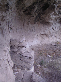
Just as it was getting dark, I found a spot that allowed me to climb away from the river bottom. I found a spot that would suffice, but it still did not feel right. I needed to get a little higher. Eventually, I found a spot that felt simply perfect. Just as I was setting up my tarp, I turned around and caught site of a cave directly behind me. Since there was just a little bit of daylight left, I decided to check it out before setting up camp. It was a perfect dwelling, I mean perfect! I was blown away to still see artifacts inside, remnants of pottery, cooking and food preparation stones, pieces of acorns, squash, fire scars on the cave's walls. Also small walls were constructed on both sides of the cave. I was pleased to notice a complete absence of human graffiti on the walls. If modern humans had also visited this cave, they had the respect to leave it alone and resist the temptation to scribble their names on the inside. It was incredibly exciting. As it became dark, I decided to explore a little more. Once again, I was blown away to find another larger dwelling, containing more artifacts, and a larger man made wall inside. There also appeared to be paintings on the wall, although at the time I wasn't 100% sure. One of the beings looked like a person with large hands and feet. I camped nearby and had one of the warmest, most restful night's of sleep in a long time. Whoever these people were who lived here, knew what they were doing. (I later found out the builders of the cliff dwellings were called the Mogollon.)

Rejuvenated and refreshed from a perfect night's sleep, I continued down the canyon. The former inhabitants of this area were on my mind. The place seemed like a perfect place to live. Water was abundant, caves offered shelter, game was most likely plentiful in and above the canyon. There were even several hot springs in the area! After a cold, wet day hiking through the canyon, I came to Jordan Hot Springs. God really knows how to take care of his people! The hot spring was a deep pool of the most clear, turquoise blue water I had seen since Yellowstone. Just to look at it brought intense feelings of joy. To get in was almost heavenly. There were strange white crystals all over the bottom of the pool. A small waterfall created the perfect, natural hot shower. I had to believe the people who lived here were in a Garden of Eden.

While taking a hot shower underneath the small waterfall, suddenly a couple of hornets fell into my lap. I looked up to see several angry hornets buzzing wildly above my head. I jumped into the pool in front of me. I turned around to see an angry mob of hornets filling the air around the waterfall. As it turns out, I think the splashing water from sitting in the waterfall disturbed an underground hornets nest a couple of feet from the falls. Thankfully, the hornets were taking their rage out on the waterfall rather than me. The falls were the obvious winner in this battle. I had to laugh again at the sublime and the lethal, once again coexisting on the CDT. I had to vacate the hot springs before the hornets discovered who the real culprit was.
Stones for grinding corn, corn cobs, and blades
An incredible pictograph of a mountain lion standing on two pyramids, triangles or pedestals. This painting was very large,  perhaps as long as 12 feet or more?
That night, I was once again looking for a place to camp. For 45 minutes, I couldn't find anything that would suffice. Once again, it simply didn't feel right to set up camp along the destroyed flood plain. It was beginning to sprinkle. I walked until it was completely dark, and then I felt stuck. I resigned myself to setting up camp on the floodplain. After setting up my tarp, I still felt extremely uneasy. I decided to see if I could climb just a little ways out of the canyon. There were several caves above me, two which I could not reach without risking my life. A third which I eventually found a route to in the dark. It consisted of a few small rooms. Once again, I was shocked to see evidence of human habitation. There were fire scars, and what appeared to be a small storage room with a small, man made wall in the front. This spot seemed to make so much more sense than sleeping on the flood plain below. I retrieved my gear and decided to cowboy camp on the canyon ledge, not going completely into the cave, but just enough to stay out of the rain.

As I drifted off to sleep, the rain began to subside, the stars came out, and an almost full moon began to shine it's reflected light onto the canyon walls before me. To see the arch of the cave above my head, the stars below the arch, the shadows of the moon, the ancient man made storage rooms behind me, the sound of the Gila River below, the relaxation of my muscles from the soak in the hot springs a few hours before, the image of the pictographs still fresh in my mind: The universe seemed so much more mysterious and wonderful than I ever could have imagined in that moment.

The next day, pictographs began to reveal themselves on canyon walls all along the canyon. It felt like a dream. What do they mean? Who were these people? After talking to the rangers at the Cliff Dwellings National Monument, it was fascinating to discover that there is still a lot of mystery surrounding the Mogollon people. For one, the canyons may have been inhabited by humans for as long as 10,000 years, when humans first entered the Americas via the Bering Straight. The fire scars on the caves may be 10,000 years old the rangers informed me. Secondly, the Mogollon people who painted the pictographs and built the dwellings inside the caves only remained in the area for one generation before moving on around 1300 AD. For every hypothesis for why they left the area, a thousand more questions could be asked.

Handprints on far left along with other symbols.

Eventually and reluctantly I had to continue heading south. My food supply was extremely low. A cold wind and overcast skies moved into the area. There was a big winter storm coming. Several inches of snow were predicted to fall in the canyons, more in the surrounding mountains. Several locals warned me not to continue hiking down the canyon due to the oncoming weather. I decided it was probably best to heed to their advice. After visiting the Gila Cliff dwellings National Monument, once again I was hiking along the roads. The area however, left a strong impression on me, and I hope to one day get a chance to return.


Typical scene along trail and valley floor: Flood devastation
To future hikers of the CDT I will imagine that the trail will be decimated along the valley floor for years to come. If you go to the canyon expecting to do big miles, it will be extremely difficult and frustrating I would imagine. I would suggest to hike the Gila with patience, with the Mogollon people on your mind, to keep an eye out for remnants of their presence. Hopefully, you will be rewarded as traces of their lives reveal themselves to you!

Tuesday, December 10, 2013

Pie Town, New Mexico: CDT 2013 (November 13-14, 2013)

The Toaster House in Pie Town, New Mexico
After leaving the canyons behind, I began the dusty road walk towards Pie Town, New Mexico with (what else?!) pie on the mind. The route into Pie Town follows a jeep road flanked by private property, barbed wire and "No Trespassing" signs.
Unbelievable! (Sign on Nita's side door)

Cindy and Todd planted the Continental Divide Trail seed in my mind almost 15 years ago. This entry was from 1998.
The night before entering town, I was looking for a comfortable spot to set up camp along the side of the road. Pickings were slim. As the sun was setting I found a spot that seemed doable. As I was looking for the best spot to pitch my tarp, I felt a presence behind me. As I turned around, I was startled to see the gigantic head of a donkey inches from my face!
 Someone had a dream and made it happen!
This was the friendliest donkey I have ever encountered. As I pondered whether to set up camp, the donkey just stood there and watched. After a few minutes, I decided it wasn't the best spot since I was too close to houses nearby. As I picked up my pack and continued down the road, the donkey followed me along the fence, jumping and running and braying, all the way down the property.  Too bad I couldn't take him to the border. Eventually I found a spot that would suffice, a few feet from the road. The next morning I hiked into Pie Town. What a neat little place! In particular, I was blown away by the kindness of one particular lady named Nita. She was not home during my time in Pie Town, but she has offered her old house as a free hostel for hikers and bikers who pass through the area. Nita has been hosting hikers and bikers since the 1980's.

Her house has been dubbed the "Toaster House" for obvious reasons. I was the only one there during my visit but didn't really mind. It was a nice, quiet refuge from the cold. With hiking friends, a stay at the Toaster House would be memorable I'm sure. I bought some cherry pie in town, was able to do laundry, shower, and prepare some hot tea at the Toaster House. On the kitchen table were several trail registers, where hikers sign in and maybe write a few comments or a leave a poem or drawling of some sort. Looking through the registers, I found a post written by a couple named Cindy and Todd who hiked the CDT in 1998 with their two young children Bryce (age 6) and Sierra (age 9?). I had the privilege of meeting Cindy, Todd, and the kids at their home shortly after they had finished the CDT in the winter of 1999. One of my college professors named Joe Gilbert took me along with the rest of my classmates to meet the family and take a tour of Cindy and Todd's cabin, which they had built themselves, and to hear about their CDT hike. It was the first time I had heard of the CDT and the seed was planted in my mind. I felt very fortunate to make that dream a reality almost 15 years later!
Thanks again to Nita for making my stay in Pie Town comfortable and memorable!

Sunday, December 8, 2013

Grants to Pie Town, New Mexico: CDT 2013 (November 9-13, 2013)

 Just south of Grants New Mexico is an area called "El Malpais." The word in Spanish means "the badlands." For us hikers, it also means walking over lava fields filled with sharp volcanic rocks.  When I entered El Malpais back in mid November, I was hiking in sort of a meditative trance. Just moving, thinking about little, not really absorbing my surroundings. The CDT travels over a trail called the Zuni Acoma Trail. At the days end, I would learn just how special the walk was, although I didn't know it at the time.

 The trail is not simply 7.5 miles over the lava fields, but has been a route that humans have traveled and used for centuries. The pueblos of the Zuni and the Acoma used the trail as a trade route over a thousand years ago. Rock cairns that lead the way across the lava are said to be hundreds of years old. There still exist rock bridges that the Zuni and Acoma created, (rocks stuffed into crevices) that allow the traveler to safely cross large gaps or cracks in the lava.
 While midway across the lava field, I was humming a song to myself. Suddenly, a couple of day hikers appeared.
"I thought I heard another person out here!" A woman said, as she appeared from under a rock formation.
"Hi!" I said, "Sorry for the bad singing! How far are you headed?" I asked.
"Just a little ways further," she replied.
"You've got several more miles of this stuff to get through to get to the other side," I said somewhat negatively as I gestured to all the lava rock and thorny bushes.
"Yeah, but isn't it beautiful?" the woman asked.
"Um yeah, your right, it is beautiful." I responded. Immediately I snapped out of the hiking daze I was in and immediately regretted my tone in my previous comment.
After saying our goodbyes, I tried harder to appreciate my surroundings.

 Not long after, I came to a spot on the trail where I could see ice inside a small cave. I imagined a young Indian breaking off some of the ice and eating it like a popsicle as he traveled across the bone dry trail. I was tempted to do it myself but was already carrying a gallon of water. I was pleased to later learn that the Ancestral Puebloans actually melted and stored ice that existed and still exists in the caves year round in pottery jars and they cached the water for later use.

La Ventana Arch

 At the day's end, I look for a place to camp. At this point in the hike, good campsites are intuitive. I come to a spot that just feels right. As I set up camp, I notice pottery shards nearby. Once again, I am pleased to know that the ancient people also thought this was a good spot. I instantly feel connected and not as lonesome as a result. I gather a few pieces of the pottery and take a few photos and return the pieces to their current resting places. I wonder about the humans who once held the plates or jars that I am now holding a thousand years later? What were they like? What did they talk about? How was life in the lava fields?

 As I drift off to sleep, I can hear cars moving down one of the highways nearby. Nature is filled with spots like the one I am now camped in. Places that feel right, a niche for humans to dwell. Places to live, or rest, or cook, or whatever. In our fast paced world, it is so easy to drive past the places I found myself in, never knowing of their existence. In the fast paced world of thru hiking, it is also easy to walk past powerful places like this one and never see them again, and never really experience them.

 The next day, rejuvenated by an excellent night's sleep, I continue down the CDT. Knowing there were once people living here long ago, and knowing that traces of their culture still exists in the sands and canyons of the area fills me with excitement and anticipation. I walk past an area that once again, just feels right. I look down into the sand and am shocked to see another piece of pottery lying right next to a jeep road. One more rainstorm and several pieces of broken pottery would most likely be lying in the middle of the road ready to be crushed by an oncoming vehicle. How strange to see the old and the new, once again coexisting. I follow the pottery trail up to a cliff side where there are pieces scattered everywhere. I am afraid to walk for fear of stepping on an artifact. It feels surreal. I take a few more photos and try to imagine the camp as it existed a thousand years ago. I can't help but move the pieces of pottery off and away from the road.
Wouldn't it be wild if this were a solar calendar of some sort?
Puebloan stone house said to be over 800 years old. Recent renovations have been made on the structure.
 How cool that the desert has preserved these artifacts allowing one to travel in time it seems. I am reluctant to leave the area as I wish I could spend the rest of my days exploring the countryside. But my food supply is low and I must continue walking south for any hope of finishing the trail.  As I consider the weight upon my back, I have much respect for the people who were able to live in the area, off the land, without all of our modern conveniences.

At this point, New Mexico, "The Land of Enchantment," was beginning to establish itself into my psyche...

Saturday, December 7, 2013

Finished! CDT 2013

I finished the CDT on Black Friday at the Mexican border just south of Columbus, New Mexico. It's probably the worst finishing photo of all time but it was hard to get all excited with a group of border patrol agents staring me down! I'm now back in California getting prepared for life's next phase. There are a few more posts I'd like to type up in the next couple weeks documenting the last weeks of the trail as I didn't have access to a computer during those times. Glad to be home...