Thursday, December 20, 2012
Continental Divide Trail: Delorme Maps and Wolf Guides
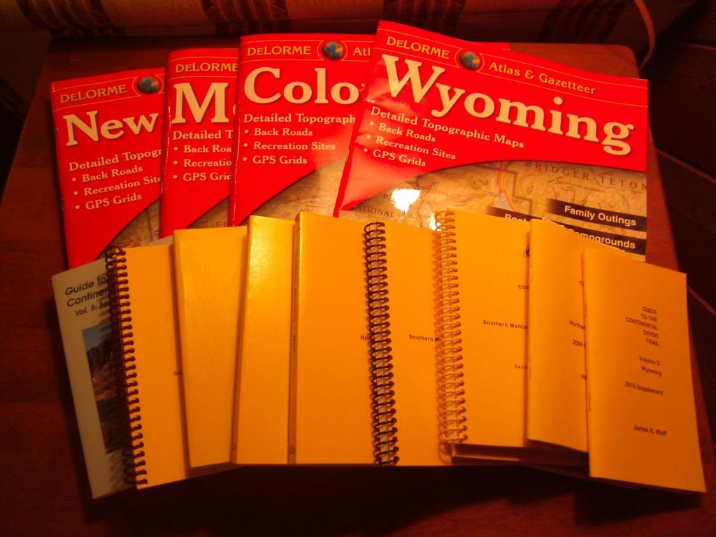
December 20, 2012. Here we are, a day before the "END OF THE WORLD!" The fourth and final Delorme Atlas and Gazetteer arrived on my rainy doorstep yesterday. A shudder went through my spine as I contemplated the possibility of walking through these four states (Montana, Wyoming, Colorado, and New Mexico) on the Continental Divide. The Delorme Maps have been recommended by past hikers to be used as an overview, or for planning alternate routes. The yellow books are the "Wolf Guides" I ordered a few months ago. They give very detailed instructions about where the trail is supposed to go. They are written from a southbound direction. It's a lot of information. There are more detailed maps to come. I have placed an order for Jonathan Ley's Continental Divide Trail Maps which will be the most trusted and detailed guide. A CD should arrive in the mail in February, and then I will need to print out those maps.
I am under the impression that preparation for hiking long distance trails is changing rapidly these days, as technology continues to advance and information is becoming more readily available. What I hope works for me this year may be completely obsolete in a couple of years. In fact, I am still finding it challenging how to sort through the confusing amounts of information out there at the moment. Some information seems recent and relevant while other information seems like it may be outdated at this point. I still feel like I am slightly behind the curve at my current planning stage as I fight with my two nemesis; sloth and procrastination. Those will be challenges to overcome in the next few months...
Subscribe to:
Post Comments (Atom)

No comments:
Post a Comment